
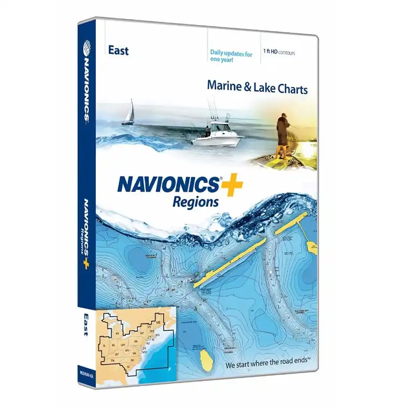
Navionics+ Regions East is a powerful preloaded MicroSD electronic chart solution providing more regional marine and lakes content than other products on the market! Get detailed Nautical Chart, SonarChart 1 ft HD bathymetry map, and Community Edits plus daily updates for one year! Includes full marine coverage and more than 6,700 lakes in CT, DE, IL, IN, KY, MA, MD, ME, MI, NC, NH, NJ, NY, OH, PA, RI, SC, TN, VA, VT and WV, plus US waters of the region”s Great Lakes. Nautical Chart and SonarChart are preloaded. Simply plug your card into your PC/Mac to download the most updated charts and Community Edits anywhere within the entire region. 16 GB card and USB reader included.
- Visit the Navionics Downloads & Updates page to download the latest charts
- Enhance SonarChart with sonar logs you collect using a plotter or mobile device
- Includes one year of daily updates to Nautical Chart, SonarChart and Community Edits
- Check compatibility at navionics.com, which is continuously updated
Features:
- Model: MSDNAVEA
- Marine and lake charts
- One foot contours
- CT, DE, IL, IN, KY, MA, MD, ME, MI, NC, NH, NJ, NY, OH, PA, RI, SC, TN, VA, VT and WV all in one
- 6,700 lakes and growing
- Daily updates
Specifications
| UPC/EAN | 821245977069 |
|---|---|
| Manufacturer Part Number | MSDNAV+EA |
| Brand | Navionics |



Reviews
There are no reviews yet.